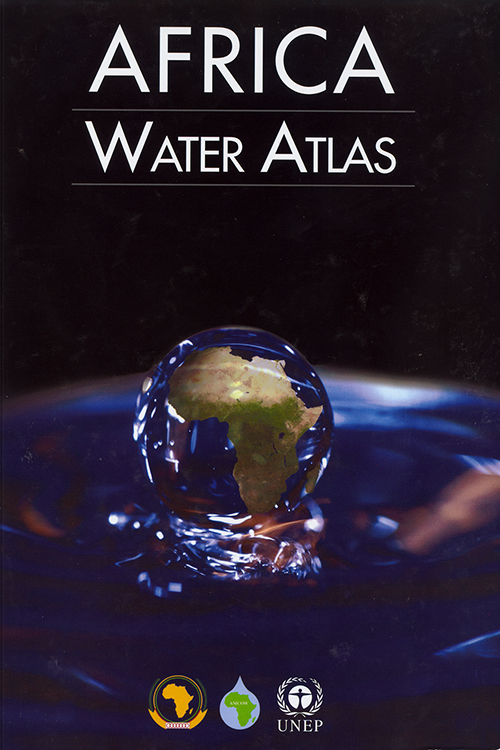
Africa Water Atlas
Water Resources Development – Africa - Maps / Water Conservation - Africa - Maps
Jenis Bahan
Monograf
Judul Alternatif
-
Pengarang
UNITED NATIONS ENVIRONMENT PROGRAMME
Edisi
Pernyataan Seri
-
Penerbitan
-
Bahasa
Indonesia
Deskripsi Fisik
1 atlas (xii, 314 p.) : col. ill., col. maps ; 36 cm.
Jenis Isi
-
Jenis Media
-
Penyimpanan Media
-
ISBN
978-92-807-3110-1
ISSN
-
ISMN
-
Bentuk Karya
-
Target Pembaca
-
Catatan
Includes bibliographical references (p. 304-307) and index
Abstrak
This Atlas is a visual account of Africa's endowment and use of water resources, revealed through 224 maps and 104 satellite images as well as some 500 graphics and hundreds of compelling photos. However the Atlas is more than a collection of static maps and images accompanied by informative facts and figures: its visual elements vividly illustrate a succinct narrative describing and analyzing Africa's water issues and exemplifying them through the judicious use of case studies. It gathers information about water in Africa and its role in the economy and development, health, food security, transboundary cooperation, capacity building and environmental change into one comprehensive and accessible volume.
| No. Barcode | No. Panggil | Lokasi Perpustakaan | Lokasi Ruangan | Kategori | Akses | Ketersediaan |
|---|---|---|---|---|---|---|
| 00006039404 | R/551.480 96 AFR |
Perpustakaan Jakarta - Cikini Jln. Cikini Raya No. 73, Komplek Taman Ismail marzuki, Jakarta Pusat |
Cikini Referensi Umum - Lantai 4 Anak, Rak Tangga, Lantai 6 | Koleksi Referensi | Baca di tempat | Tersedia |
| No. | Nama File | Nama File Format Flash | Format File | Aksi |
|---|---|---|---|---|
| Tidak ada data. | ||||
| Tag | Ind1 | Ind2 | Isi |
|---|---|---|---|
| 001 | JAKPU-12920000000001 | ||
| 005 | 19921222120849.0 | ||
| 008 | ***********************************ind** | ||
| 020 | # | # | $a 978-92-807-3110-1 |
| 035 | # | # | 0010-129200000000001 |
| 040 | # | # | $a JKPDJAK |
| 041 | 0 | # | $a ENG |
| 082 | 0 | 4 | $a 551.480 96 $2 (22) |
| 090 | # | # | $a R/551.480 96 UNI a |
| 110 | 2 | # | $a UNITED NATIONS ENVIRONMENT PROGRAMME |
| 245 | 0 | # | $a Africa water atlas / $c United Nations Environment Programme |
| 260 | # | # | $a Nairobi, Kenya : $b United Nations Environment Programme, $c 2010 |
| 300 | # | # | $a 1 atlas (xii, 314 p.) : $b col. ill., col. maps ; $c 36 cm. |
| 504 | # | # | $a Includes bibliographical references (p. 304-307) and index |
| 520 | # | # | $a This Atlas is a visual account of Africa's endowment and use of water resources, revealed through 224 maps and 104 satellite images as well as some 500 graphics and hundreds of compelling photos. However the Atlas is more than a collection of static maps and images accompanied by informative facts and figures: its visual elements vividly illustrate a succinct narrative describing and analyzing Africa's water issues and exemplifying them through the judicious use of case studies. It gathers information about water in Africa and its role in the economy and development, health, food security, transboundary cooperation, capacity building and environmental change into one comprehensive and accessible volume. |
| 521 | 1 | # | $a DEWASA |
| 650 | # | 4 | $a WATER CONSERVATION - AFRICA - MAPS |
| 650 | # | 4 | $a WATER RESOURCES DEVELOPMENT – AFRICA - MAPS |
| 659 | # | # | $a Pembelian |
| 852 | # | # | $a BPAD DKI |
| 990 | # | # | $a 64045/12 |
| 990 | # | # | $a D064045/12 |